
Iceland
Northern lights in Reykjavík
22 viewing spots around Reykjavík, chosen for a dark sky and an open view. For each one: how dark it is, which way it looks, where to park and how to get there. Near the edge of the auroral oval: aurora on most active nights, low in the northern sky on quiet ones.
- Viewing spots
- 22
- Dark or very dark
- 13
- Magnetic latitude
- 64.2°
- Clearest dark month
- September 35 % of hours clear or partly clear
Which of these spots is clear tonight, and when? Aurora Atlas scores every spot hour by hour from the cloud forecast, darkness, the moon and live aurora activity, with live camera stills.
See tonight's live scores for Reykjavík in Aurora AtlasViewing spots
-
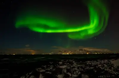 Grótta lighthouse
Nature reserve at the western tip of Seltjarnarnes where the sea opens the sky to the north and west, a few minutes'…
Grótta lighthouse
Nature reserve at the western tip of Seltjarnarnes where the sea opens the sky to the north and west, a few minutes'…
-
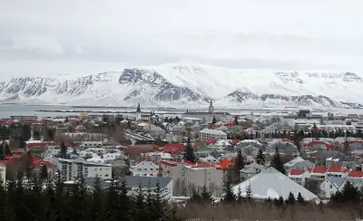 Perlan / Öskjuhlíð
Wooded hill inside the city whose height and trees lift you slightly above the street lighting; only worth it for…
Perlan / Öskjuhlíð
Wooded hill inside the city whose height and trees lift you slightly above the street lighting; only worth it for…
-
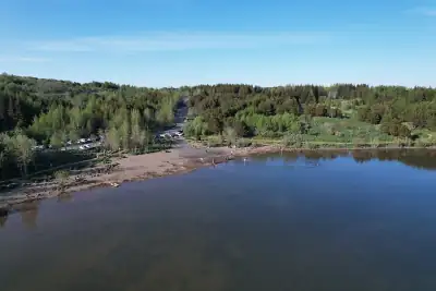 Hvaleyrarvatn
Small tree-sheltered lake just south of Hafnarfjörður with a car park on its west side and a shore path, darker than…
Hvaleyrarvatn
Small tree-sheltered lake just south of Hafnarfjörður with a car park on its west side and a shore path, darker than…
-
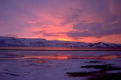 Kleifarvatn
Large lake in an uninhabited volcanic valley on Road 42, well away from town lights; the area is seismically active…
Kleifarvatn
Large lake in an uninhabited volcanic valley on Road 42, well away from town lights; the area is seismically active…
-
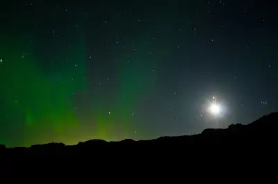 Þingvellir (Hakið viewpoint)
National-park viewpoint on the rim of the Almannagjá rift, far from Reykjavík's light dome, looking out over the rift…
Þingvellir (Hakið viewpoint)
National-park viewpoint on the rim of the Almannagjá rift, far from Reykjavík's light dome, looking out over the rift…
-
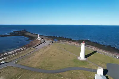 Garðskagi lighthouses
Headland at the northern tip of the Reykjanes peninsula with two lighthouses and an unbroken sea horizon to the north…
Garðskagi lighthouses
Headland at the northern tip of the Reykjanes peninsula with two lighthouses and an unbroken sea horizon to the north…
-
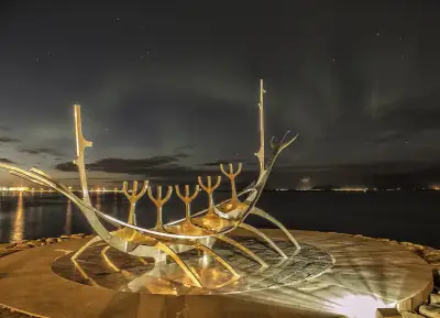 Sólfarið · Sun Voyager
Steel ship sculpture on the Sæbraut seafront; the bay in front keeps the northern sky darker than the streets behind.
Sólfarið · Sun Voyager
Steel ship sculpture on the Sæbraut seafront; the bay in front keeps the northern sky darker than the streets behind.
- Rauðhólar · Red Hills Protected red pseudocraters at the edge of the Heiðmörk green belt, ~15 minutes from the centre, darker than anywhere…
-
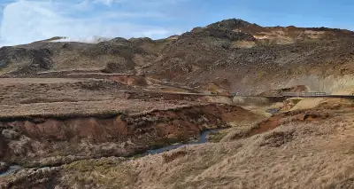 Seltún · Krýsuvík
Geothermal area with a car park on road 42 south of Kleifarvatn; the area is unlit and the road leads on to the south…
Seltún · Krýsuvík
Geothermal area with a car park on road 42 south of Kleifarvatn; the area is unlit and the road leads on to the south…
-
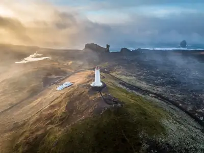 Reykjanesviti · Reykjanes lighthouse
Iceland's oldest lighthouse site at the south-west tip of the Reykjanes UNESCO Global Geopark, with the Valahnúkur sea…
Reykjanesviti · Reykjanes lighthouse
Iceland's oldest lighthouse site at the south-west tip of the Reykjanes UNESCO Global Geopark, with the Valahnúkur sea…
-
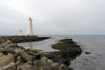 Akranesviti · Akranes lighthouse
Lighthouse on the Breið point at the end of the Akranes peninsula, ~45 minutes from Reykjavík; open sea on three sides.
Akranesviti · Akranes lighthouse
Lighthouse on the Breið point at the end of the Akranes peninsula, ~45 minutes from Reykjavík; open sea on three sides.
-
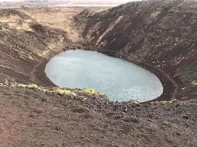 Kerið crater
Volcanic crater lake on the Golden Circle road (Biskupstungnabraut), private land with an entry fee.
Kerið crater
Volcanic crater lake on the Golden Circle road (Biskupstungnabraut), private land with an entry fee.
-
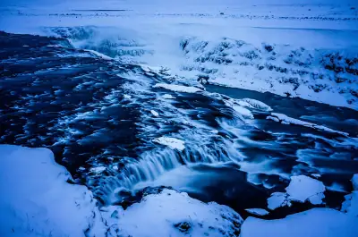 Gullfoss
Waterfall at the end of the Golden Circle with a large upper car park and viewing platform, about 1 h 45 min from…
Gullfoss
Waterfall at the end of the Golden Circle with a large upper car park and viewing platform, about 1 h 45 min from…
-
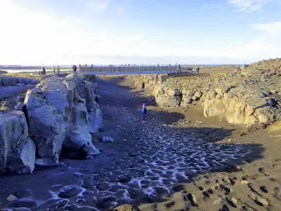 Bridge between Continents · Reykjanes
Free car park at the footbridge across the rift between the North American and Eurasian plates: a flat, open lava…
Bridge between Continents · Reykjanes
Free car park at the footbridge across the rift between the North American and Eurasian plates: a flat, open lava…
-
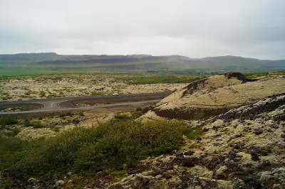 Grábrók rest area · Borgarfjörður
Free rest area on Route 1 at the Grábrók craters in Borgarfjörður, 75 minutes north of Reykjavík: dark, open, and on…
Grábrók rest area · Borgarfjörður
Free rest area on Route 1 at the Grábrók craters in Borgarfjörður, 75 minutes north of Reykjavík: dark, open, and on…
-
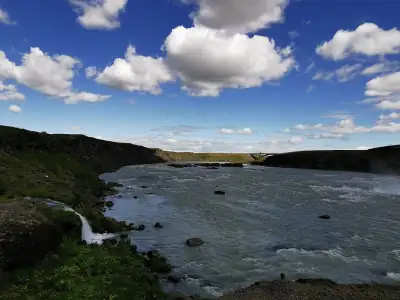 Urriðafoss
Car park at Iceland's highest-volume waterfall on the Þjórsá, a few minutes off Route 1 east of Selfoss.
Urriðafoss
Car park at Iceland's highest-volume waterfall on the Þjórsá, a few minutes off Route 1 east of Selfoss.
- Reykjadalur trailhead car park · Hveragerði Paid car park at the start of the Reykjadalur hot-river valley north of Hveragerði, 40 minutes from Reykjavík, with…
- Hafravatn lake Small free car park at Hafravatn, the nearest lake to Reykjavík with a dark eastern side.
-
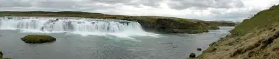 Faxi waterfall
Paid car park at the Faxi waterfall, a quieter Golden Circle stop near Geysir.
Faxi waterfall
Paid car park at the Faxi waterfall, a quieter Golden Circle stop near Geysir.
-
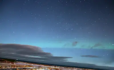 Kálfatjarnarkirkja
Church from the early 1890s standing alone on the north coast of the Reykjanes peninsula, a short detour from the…
Kálfatjarnarkirkja
Church from the early 1890s standing alone on the north coast of the Reykjanes peninsula, a short detour from the…
-
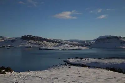 Hvítanes · Hvalfjörður
Roadside rest area on Road 47 on the south shore of Hvalfjörður, about an hour from Reykjavík if you take the fjord…
Hvítanes · Hvalfjörður
Roadside rest area on Road 47 on the south shore of Hvalfjörður, about an hour from Reykjavík if you take the fjord…
-
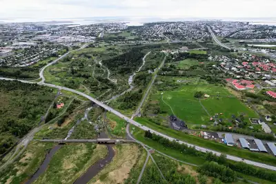 Elliðaárdalur
Green river valley inside the city that you can reach by city bus: walk to the Árbæjarstífla dam, where trees and the…
Elliðaárdalur
Green river valley inside the city that you can reach by city bus: walk to the Árbæjarstífla dam, where trees and the…
Drive times are estimates from Reykjavík by straight-line distance, as the app estimates them before it knows your route; ferries and winter closures are not counted.
All 22 spots, A to Z
R
Good to know in Reykjavík
- Use the Icelandic Met Office aurora forecast for clouds IMO's aurora page puts a cloud-cover map, an aurora activity index (0–9) and Reykjavík darkness and moon times side by side. The cloud map is the part that decides where to drive. Source
- Check umferdin.is before leaving town The Road Administration's umferdin.is shows road status, weather stations and road cameras, including the mountain roads to Þingvellir and over Hellisheiði. Source
- Only stop in proper parking areas Pull into an official car park or wide lay-by, never onto the road shoulder, and keep your eyes on the road when the sky lights up. Safetravel.is has current alerts and lets you leave a travel plan. Source
- Reykjanes: check volcanic closures first Magma is still accumulating under the Sundhnúkur crater row, so closures around Grindavík can return at short notice. Check Visit Reykjanes and IMO updates before heading to Kleifarvatn or Garðskagi. Source
- Grótta: stay on the mainland side at night The causeway to the lighthouse islet is only walkable at low tide. After dark, watch from the shore by the car park instead of crossing. Source
- Reykjavík sometimes switches off street lights On a few nights with an exceptional aurora forecast the city has turned off street lighting in chosen neighbourhoods for half an hour to an hour, for example on 28 September 2016 from 22:00 to 23:00. It is announced the same day on reykjavik.is. Drive with extra care in the darkened streets. Source